Geognostics is an international team of geological, geophysical and geospatial experts based in Australia and Europe.
Collectively, the team has many decades of global experience in basement and basin interpretation, structural geology, plate tectonics, geodynamic processes, potential field geophysics, seismic stratigraphy, basin analysis, petroleum systems and GIS.
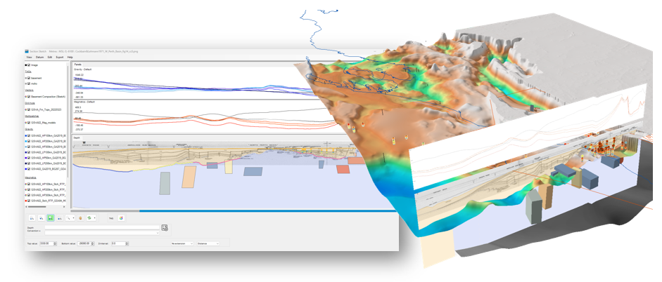
Geognostics are experts in bottom-up basin analysis that leverage and integrate our unique, in-depth understanding of basement and basin systems via GEM™, the Geognostics Earth Model

GEM, the Geognostics Earth Model
At Geognostics, we have a unique understanding of our world that is encapsulated in GEM, the Geognostics Earth Model. GEM is a collection of modules that provide a new view of global geology.
GEM modules provide a spatially consistent, bottom-up, map-view of global geology that enables explorers to critically evaluate geology and traditional exploration data (well and seismic) in a new light.
Collectively, the GEM Modules provide a predictive framework to understand both basement and basin resources, and to significantly reduce exploration risks.
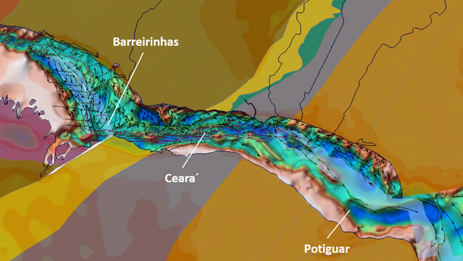

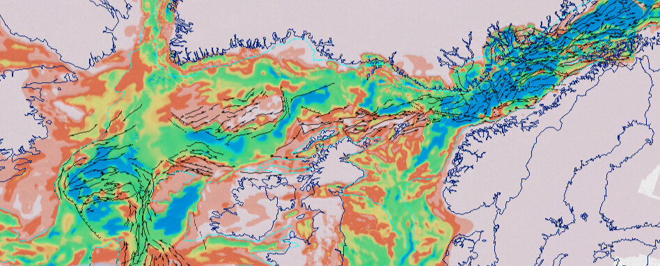
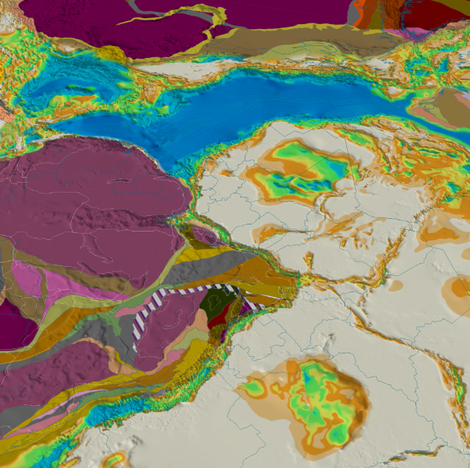


Global SEEBASE is a high-resolution sub-surface geospatial model that defines the 3D geometry of basement and provides insights into the structural style and tectonic setting of global basin systems and basement geology. It is built using specialized bottom-up workflows, and a hand-contoured structural interpretation, integrating a range of geophysical and geological datasets.

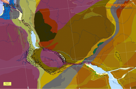
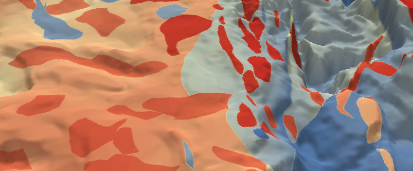
The GEM Tectonics module is a spatially consistent model of the Earth’s crust built using basement terranes and structures, aimed at understanding basin evolution. The Tectonics Module accurately reconstructs the redefined crustal framework back in time using our proprietary plate model.

Basement-Focused Workflow
Geognostics specialise in a bottom-up workflow that uses the integration and calibrated interpretation of a range of geophysical and geological datasets.
Literature, Client knowledge and technical experts
State-of-the-art geophysical processing, enhancements and imaging of potential field datasets
Calibration of geological sources of gravity and magnetic anomalies
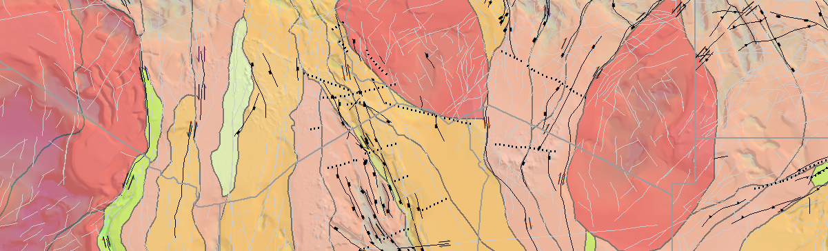
Interpret basement terranes including their age, nature and boundaries
Plate reconstructions using the GEM Crustal Framework and Tectonic Module
Integration of tectonic events and structural responses to define basement and basin evolution
Identification of major structures and active faults through time
Assessment and integration of crustal architecture
Gravity and magnetic modelling
Depth calibration of interpreted basement to seismic, wells, outcrop, published cross-sections


